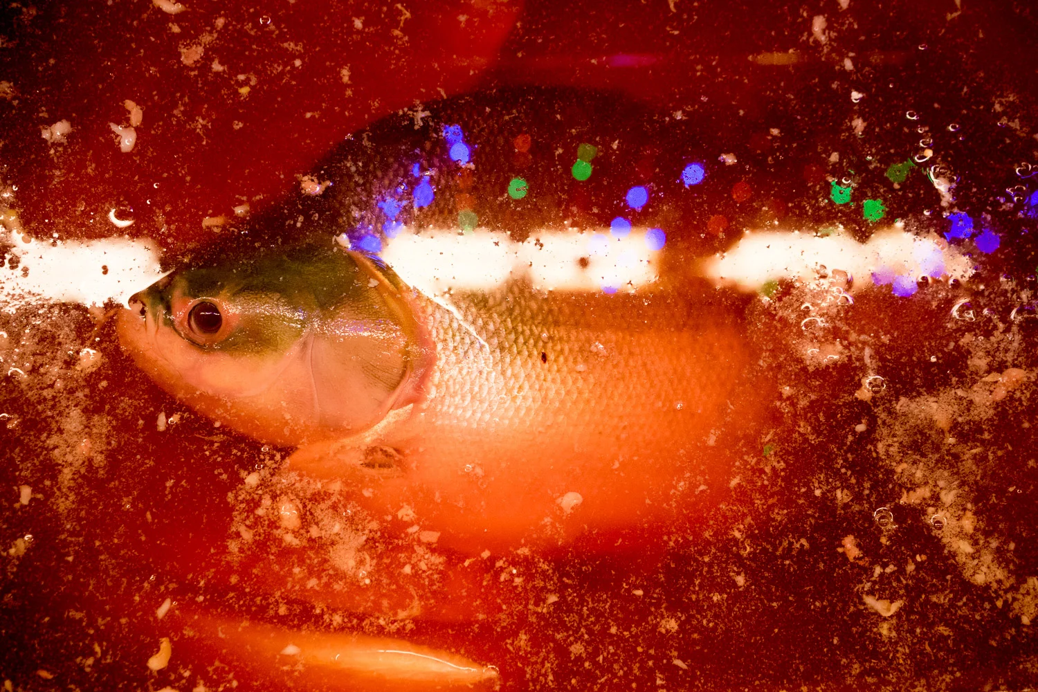
A voyage from the Ecuadorean Pacific to the Brazilian Amazon [series extract]
I recently set out to explore the Manta-Manaus Corridor, a multimodal trade route being built that will connect two bustling port cities: Manta in Ecuador and Manaus in Brazil. The project was launched under the Initiative for the Integration of the Regional Infrastructure of South America, a development plan to further economically integrate the continent's countries. It's made up of airports, roads, and waterways. Once finished, it will be an alternative to the Panama Canal, stretching 1,500 miles through much of the Peruvian and Colombian Amazon. Ultimately, its goal is to improve relations between the nations that lie along it—namely Ecuador, Brazil, Peru, and Colombia—as well as increase the speed it takes for Asian imports to reach South America.
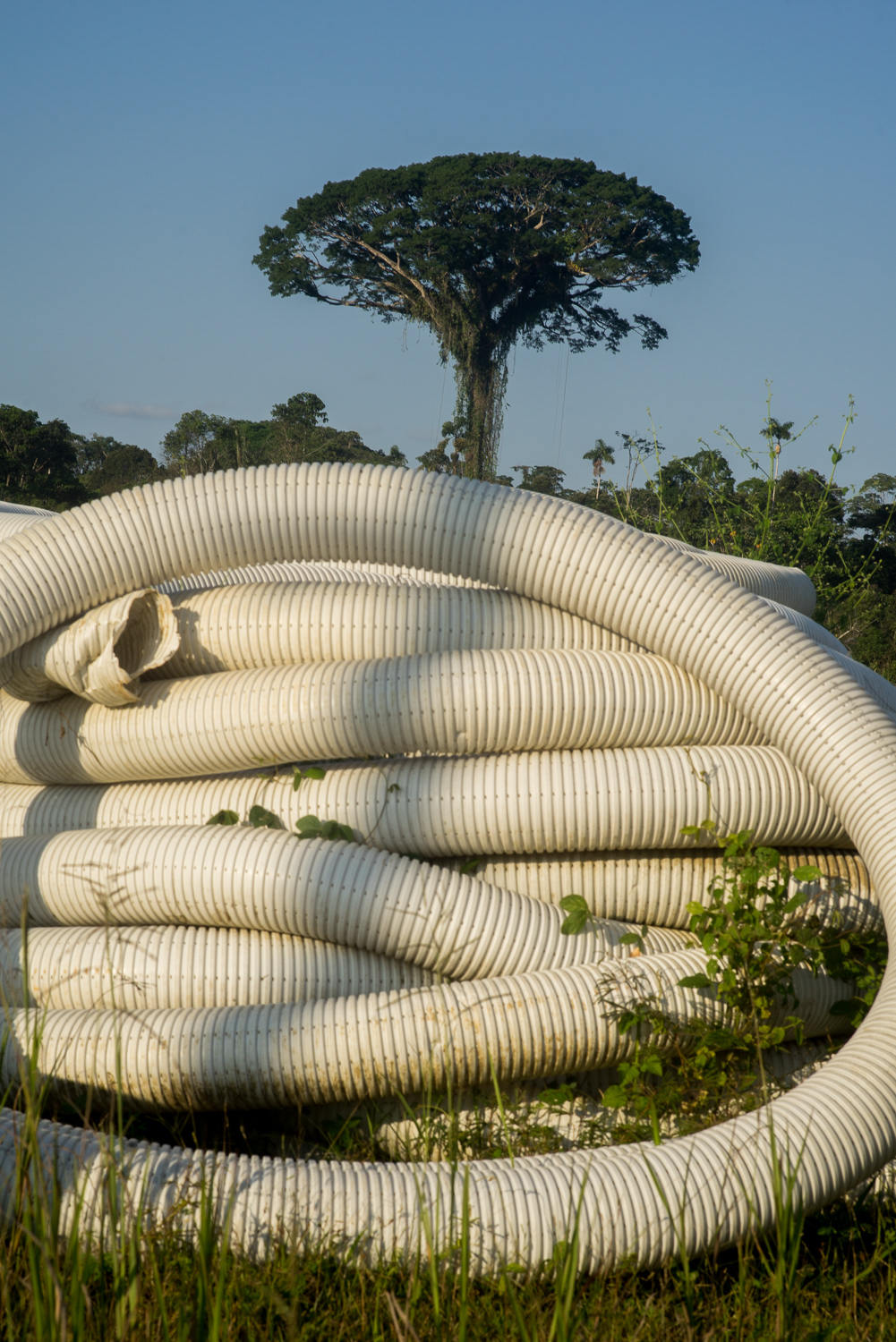
However, Amazon Watch, a nonprofit based in Oakland, California, which promotes rainforest conservation and advances the rights of the region's indigenous populations, has expressed concern that the project will lead to more deforestation and river dredging. Some critics also believe that the benefits of the corridor have been exaggerated, or that little evidence exists to back up claims of its potential success.
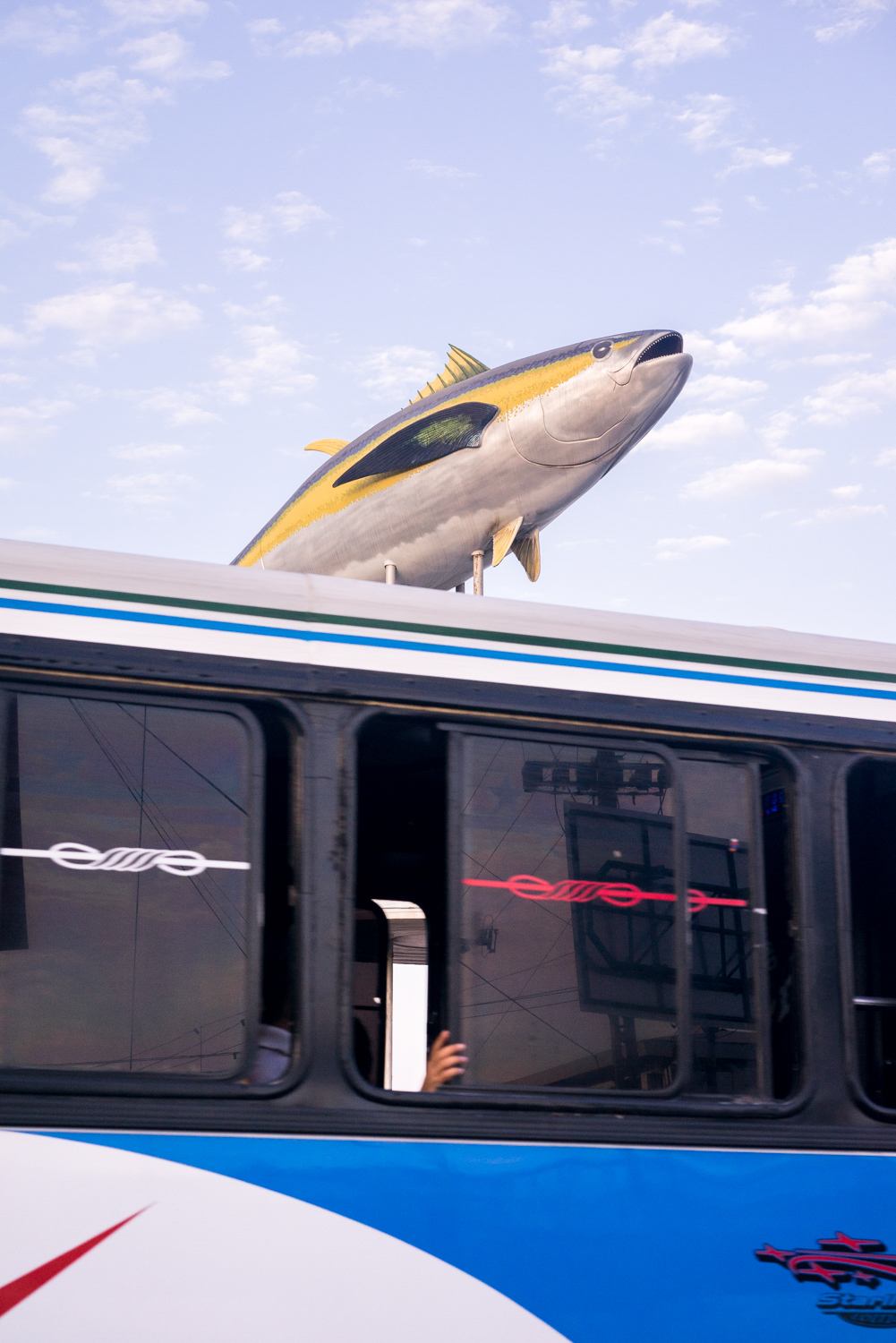
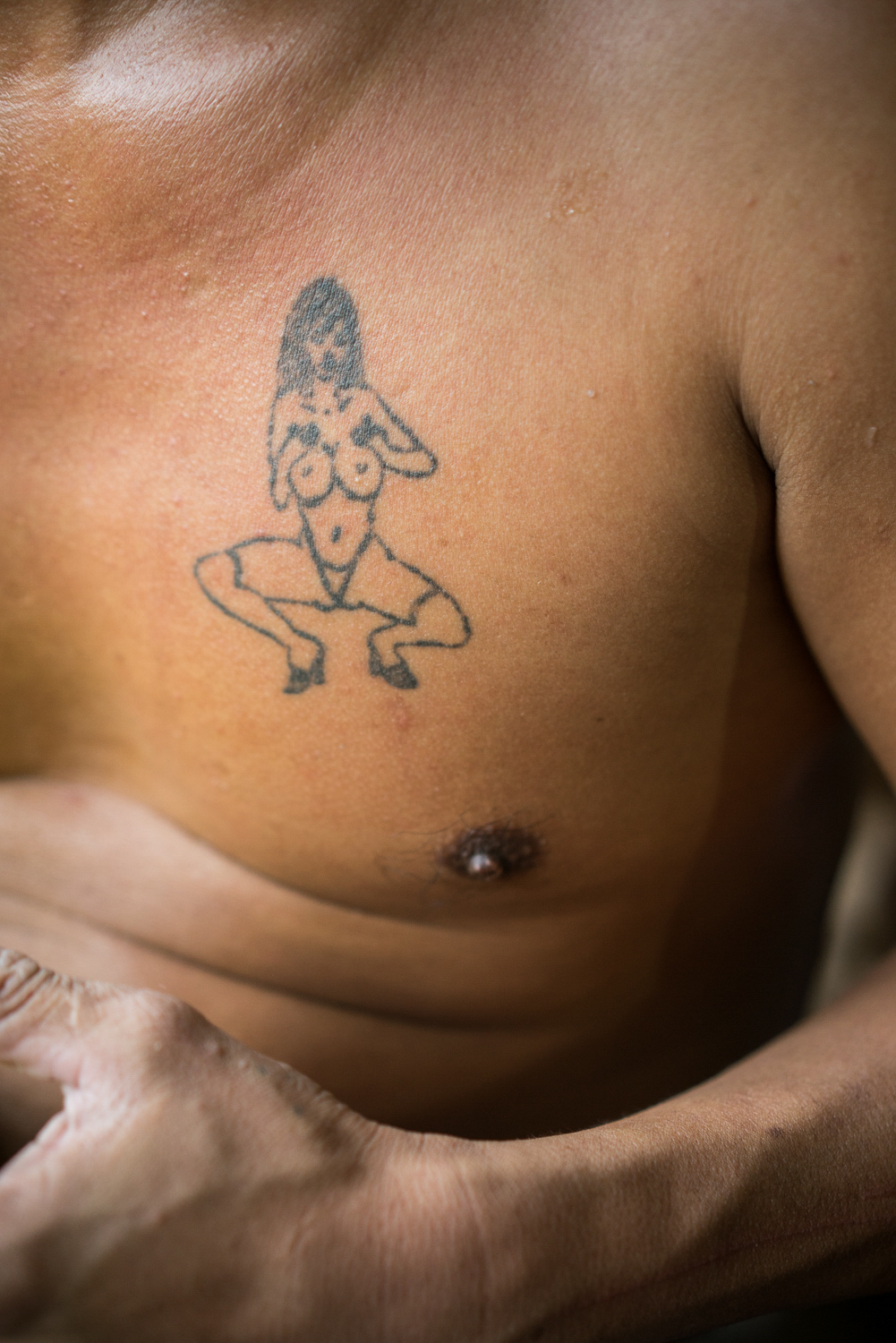
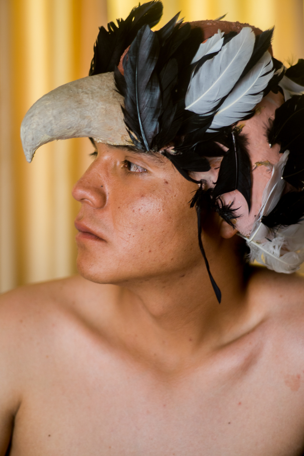
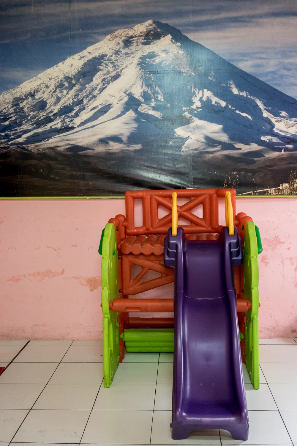
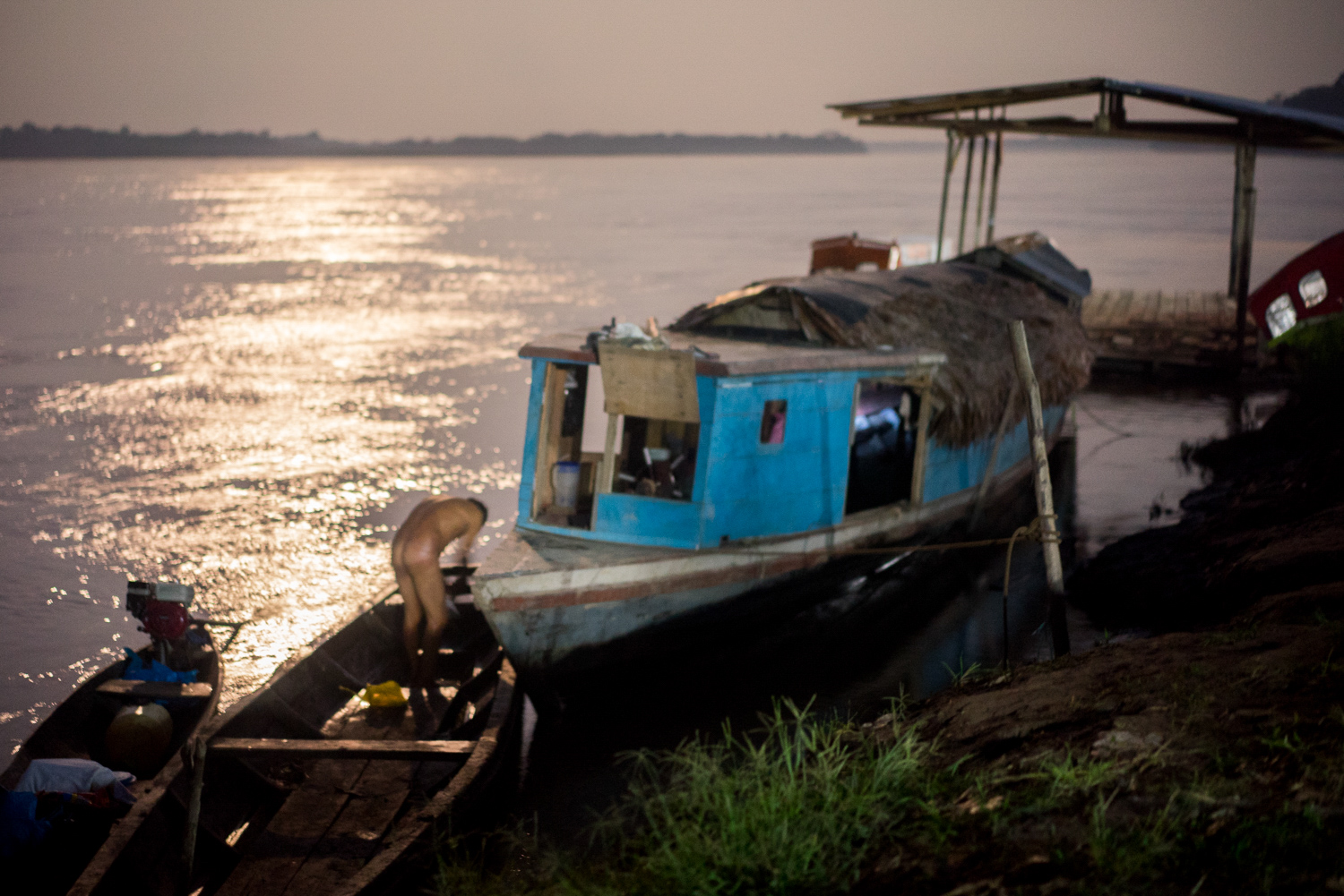
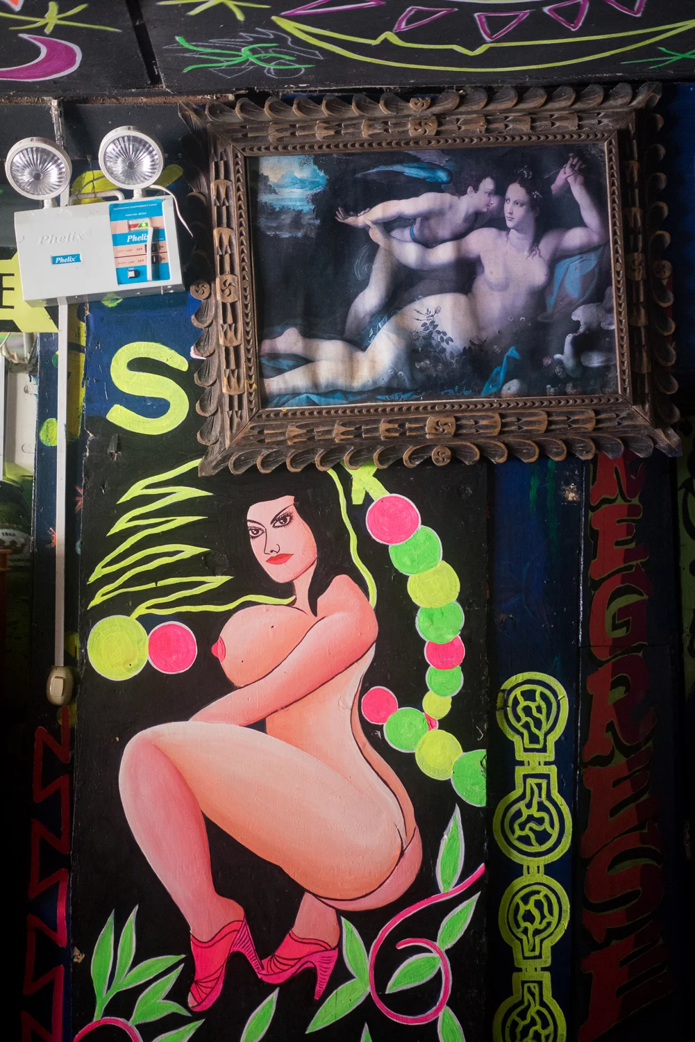
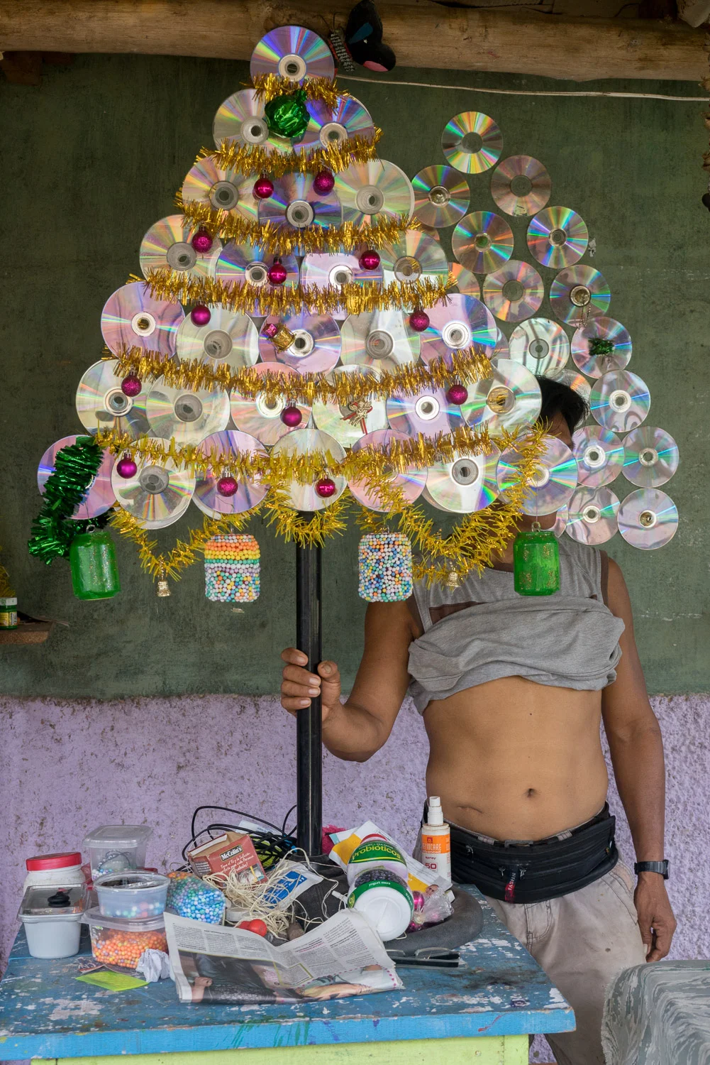
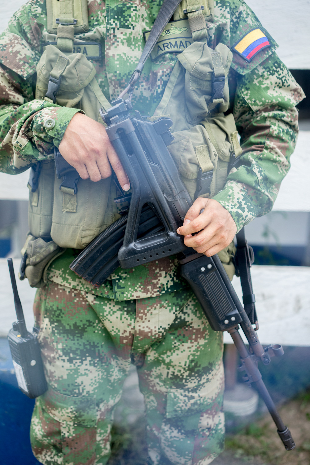
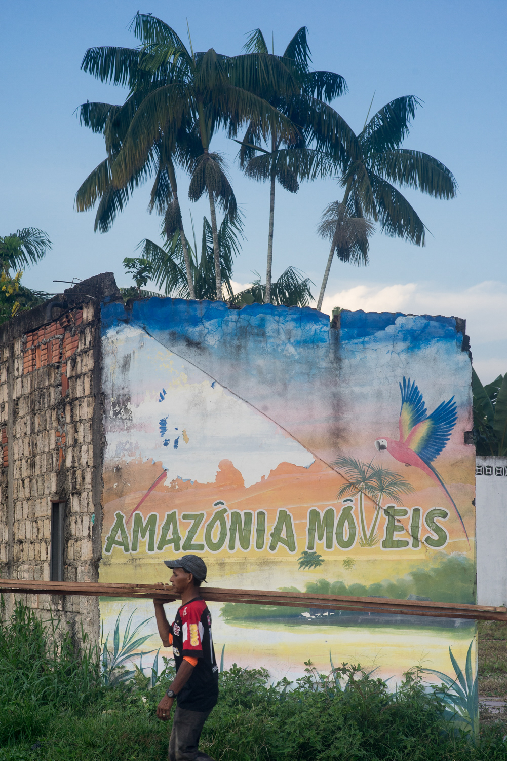
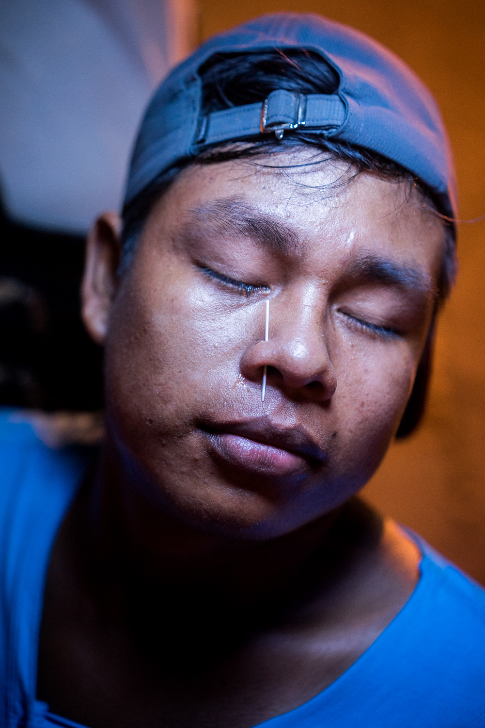
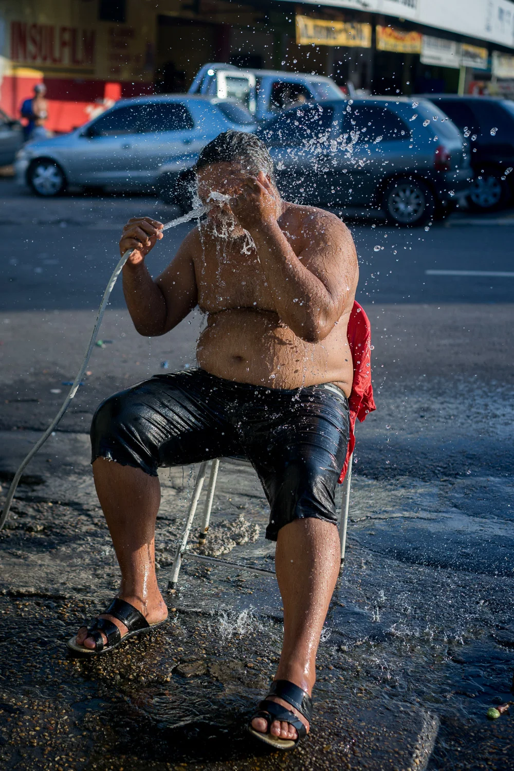
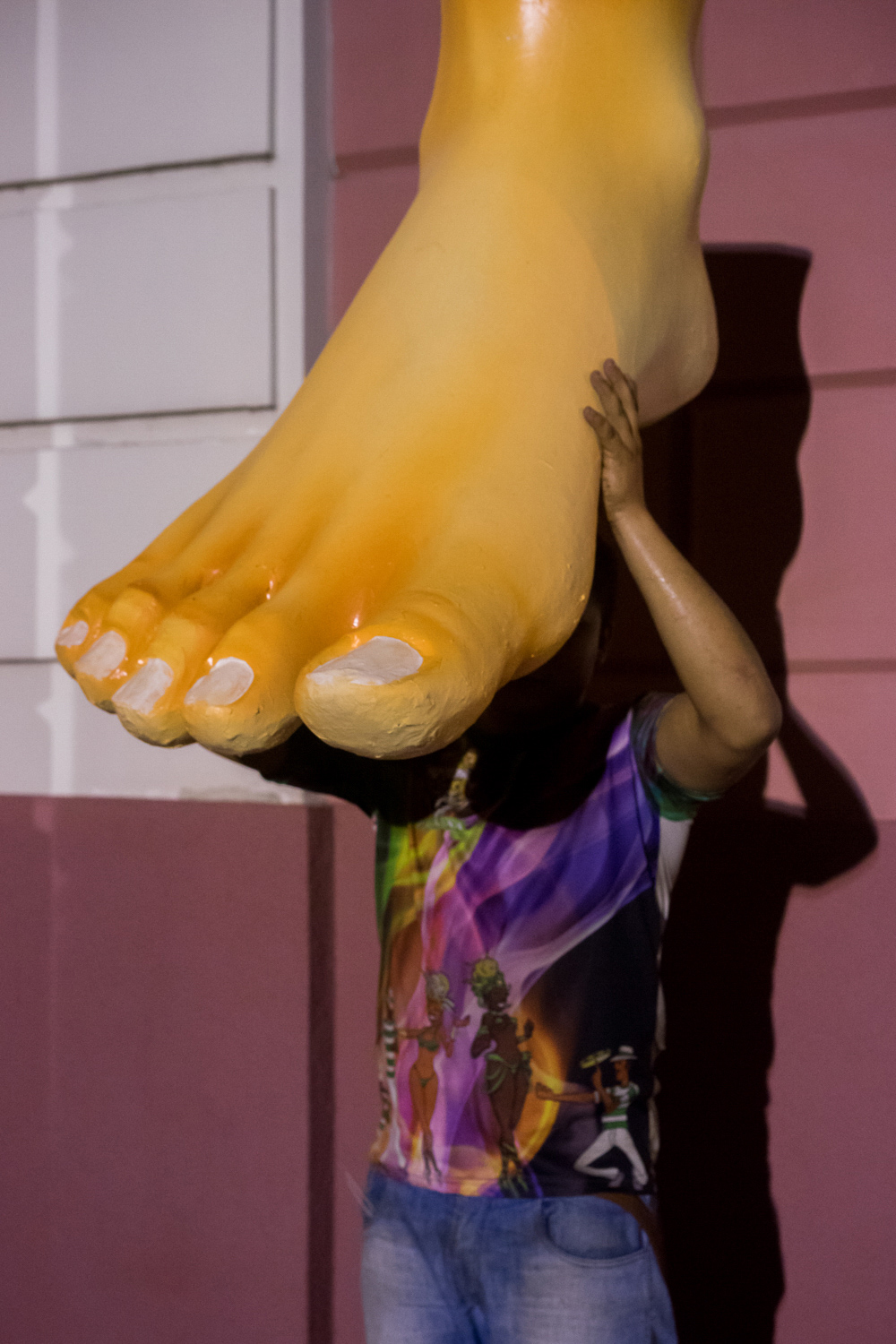
Before the corridor's completion, I decided to take a road trip along the route, starting in Manta and ending in Manaus, with the intention of completing a book. The photos, I envisioned, would follow my journey in chronological order and would reflect the humor, strangeness, and kindness of the people I met—before the environmental destruction could come to the places they lived.
